


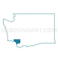
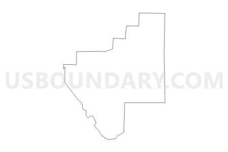
Brynion Voting District, Cowlitz County, Washington
About
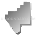
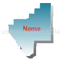
Outline

Summary
| Unique Area Identifier | 684087 |
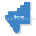
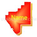
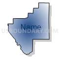
| Name | Brynion Voting District |
| County | Cowlitz County |
| State | Washington |
| Area (square miles) | 11.53 |
| Land Area (square miles) | 11.53 |
| Water Area (square miles) | 0.00 |
| % of Land Area | 100.00 |
| % of Water Area | 0.00 |
| Latitude of the Internal Point | 46.16441420 |
| Longtitude of the Internal Point | -122.82965400 |
Maps

Graphs
Select a template below for downloading or customizing gragh for Brynion Voting District, Cowlitz County, Washington


Neighbors
Neighoring Voting District (by Name) Neighboring Voting District on the Map
- Carrolls North Voting District, Cowlitz County, WA
- Holcomb Voting District, Cowlitz County, WA
- Ostrander Voting District, Cowlitz County, WA
- Rainbow Voting District, Cowlitz County, WA
- Rose Valley Voting District, Cowlitz County, WA
- Walker Voting District, Cowlitz County, WA